We continue our walking excursion at Lefkada, with the book “Lefkada on foot” by Lida Out.
Englouvi – Ag. Donatos – Livadi – Alevrota – Pighadakia – Paleokatouna – Nydri
over 6 hrs / 19 km
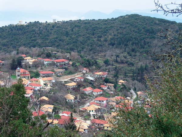
This walk starts at the church in the centre of Englouvi (EG1). From the church you walk towards the square with the plane tree and the KAΦENEIO ΠAPAΔOΣIAKO. You reach a fork in the tarmac road. The right hand road takes you to Karia and the narrow road to the left leads uphill to the plateau and the church of Ag. Donatos. Where these two roads join you see the local café. Take the road to Ag. Donatos and turn onto the first paved track on the left (EG2). Follow this track uphill, it turns to the right and 2 minutes later you reach a wide paved road. Turn left here and a little further, at the bins, follow the road going right and uphill towards the cemetery. Before the cemetery turn right, uphill onto a stony track (EG3) that soon turns into a beautiful monopati.
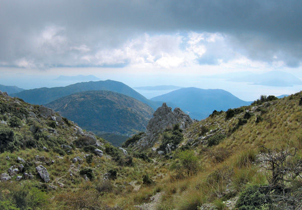
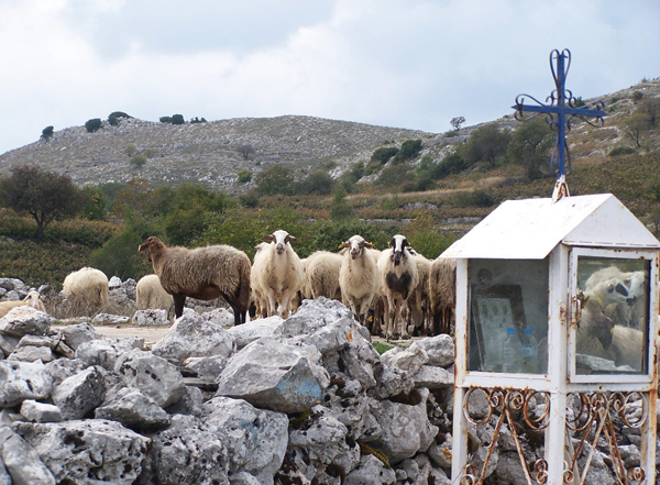
After following this track for 5 minutes you cross the road, go a few metres to the left (so as not to take the track straight ahead) and continue on the monopati. After 10 minutes you again cross the road (EG4) and after another 5 minutes you reach the church of Ag. Donatos (EG5). Now you find yourself on the plateau where the famous lentils are grown.
Turn left onto the tarmac road, pass the sign for Ag. Ilias/Hortata and keep on the road towards Ag. Ilias. After 7 minutes on the tarmac road it turns right and here you turn left onto a track (EG6). Keep following this track and ignore the turn to the right after 4 minutes. After 15 minutes from the tarmac road you see a well and a caravan on the left hand side. A little further the track finishes at a tree. The road maybe closed by a gate but you can pass by the side or open it. Now the track becomes wider (EG7) and at the end you go a little to the right, towards the rock with the red dot. This is 20 steps from the gate.
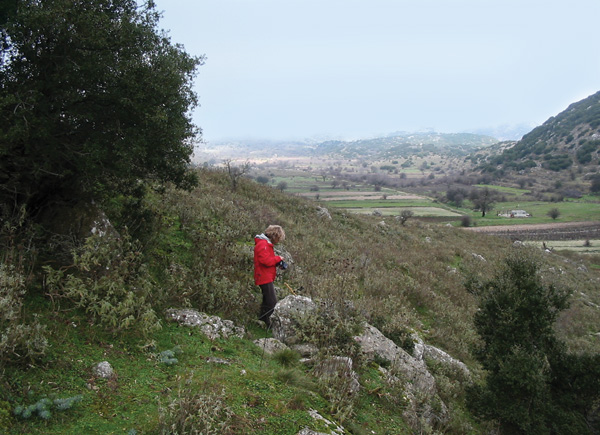
Here the uphill track starts, which eventually finishes on the tarmac road between Englouvi and the radar station higher up on the mountain (used by the air force and a telephone company).
(continues in the book)